Dublin Core
Title
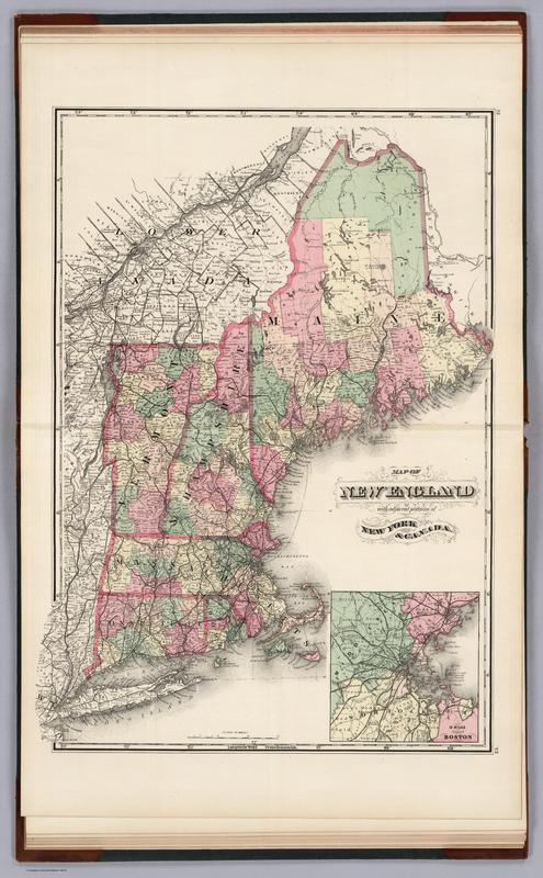
Map of New England with adjacent portions of New York and Canada (1877)
Subject
Map of New England
Description
From David Rumsey: This was Walling's last State Atlas and the most elaborate. The atlas was copyright and printed by Julius Bien. Full color.
Full title:
Atlas Of The State Of New Hampshire Including Statistics And Descriptions Of Its Topography, Geology, River Systems, Climatology, Railroads, Educational Institutions, Agricultural And Botanical Productions, Mechanical And Manufacturing Interests, Etc. The Topographical Work Under THe Direction Of H.F. Walling, C.E. ... The Descritive Matter Compiled And Edited By Charles H. Hitchcock, Ph.D. ... Published By Comstock & Cline, 27 Warren Street, New York. (verso) Entered ... 1877, by Julius Bien ... Washington. Engraved And Printed By Julius Bien, 16 & 18 Park Place, New York.
Creator
Publishers: Comstock & Cline; David Rumsey
Publisher
David Rumsey
Date
1877, nineteenth-century
Rights
Public
Format
57 x 42 cm
Language
English
Type
Map
Coverage
New England and New York, northeast, nineteenth century
